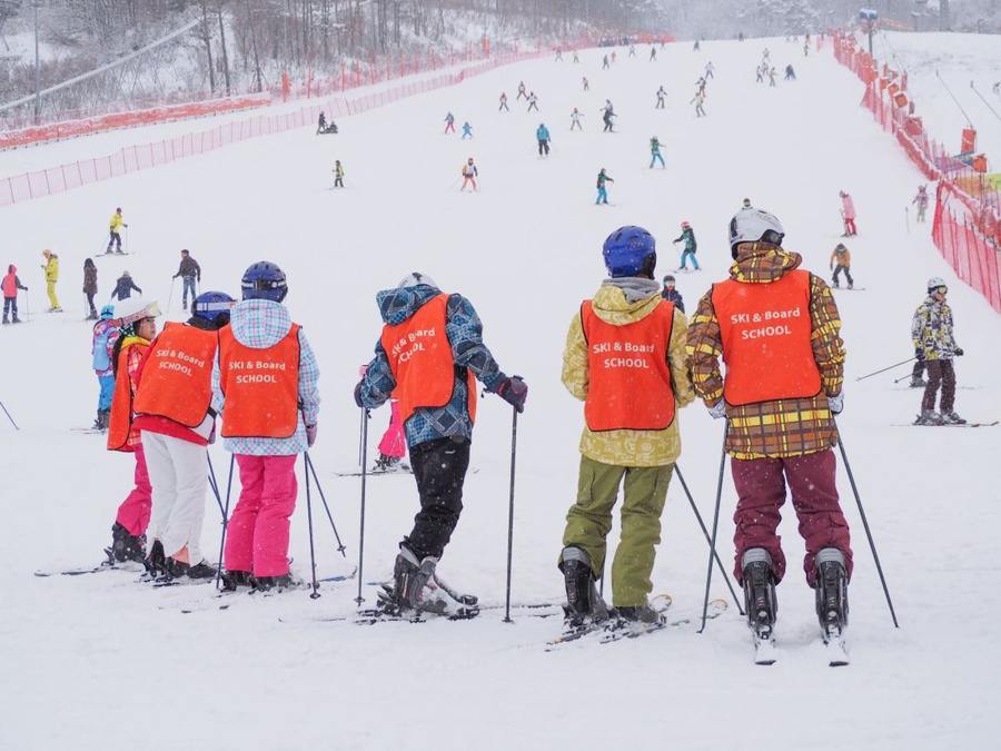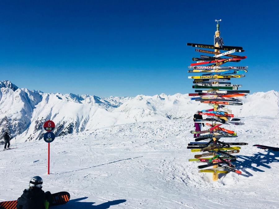
A panorama helps with planning, while signs identify actual connections as you travel. Both work better when you use definite names and numbers. Remembering a red run left of the restaurant can quickly become unhelpful at several junctions. Prepare a few fixed reference points and ask as soon as a connection stops being clear.
Read the map symbols before starting
Open the resort’s official map and distinguish pistes, lifts and other marked routes. Read the legend instead of treating similar-looking lines alike. Record the starting installation, desired destination and relevant run identifiers. Discuss any unclear section or unsuitable difficulty with the instructor. You need not memorise the whole area; you need an understandable connection for the part of the day you plan to undertake.
Compare names rather than only colours
Check the number or name on a sign against your plan. One colour can identify several directions. Destination names for stations or villages add information, but do not establish that the run suits you. A signed valley connection is not automatically your appropriate return. Resolve a mismatch at a suitable place before choosing, without using a passage or poorly visible piste section as a discussion point.
Put current notices before the old plan
Closures and local markings are not optional additions to a map. The FIS rules require respect for signs and markings. If a planned connection is closed, ask the operator or instructor about an appropriate alternative. Do not search for a bypass outside the intended routes.
A saved screenshot helps with names and the general layout, but does not confirm current operation. Check the official status again before beginning the day, and revise the complete connection rather than merely substituting an uncertain branch.
Describe an unfamiliar place precisely
When requesting information, give the visible sign name, number and nearby station rather than only your impression of the location. A photograph taken from an appropriate place can help explain. Keep your planned return connection separately so an unexpected change does not make the whole day confusing. In a group, establish which run is meant before everyone leaves. A forwarded map pin without an understandable name may create further questions when people use different map views.
Reliable orientation comes from a few definite identifiers compared with current notices. Use the map for context and signs for the specific location. When they do not agree, clarify early instead of choosing an uncertain direction from colour or memory alone.